
🌍 Introduction: World Hydrography Day Mapping the Blue for a Safer World
World Hydrography Day: Imagine a world without accurate nautical charts, ships lost at sea, or harbors too shallow to dock safely. Thankfully, hydrography — the science of measuring and describing the physical features of oceans, seas, and coastal areas — prevents these disasters.
- 🌍 Introduction: World Hydrography Day Mapping the Blue for a Safer World
- 📜 History of World Hydrography Day
- 🌊 What is Hydrography?
- 📚 7 Powerful Facts About World Hydrography Day
- ❓ FAQs: Everything About World Hydrography Day
- 📅 Timeline: Key Events in Hydrography
- 🌟 The Annual Themes of World Hydrography Day
- 🌐 Significance of World Hydrography Day
- 1. Ensures Safe Navigation
- 2. Protects Marine Life
- 3. Empowers Global Trade
- 4. Supports Coastal Communities
- 5. Fosters Global Collaboration
- 🎉 How to Observe World Hydrography Day
- 💬 Wishing Messages for World Hydrography Day
- 💡 Why Hydrography Is Important in Our Daily Lives
- 📌 Key Takeaways
- 🔚 Conclusion: A World Mapped by Water, Made Safer by Science
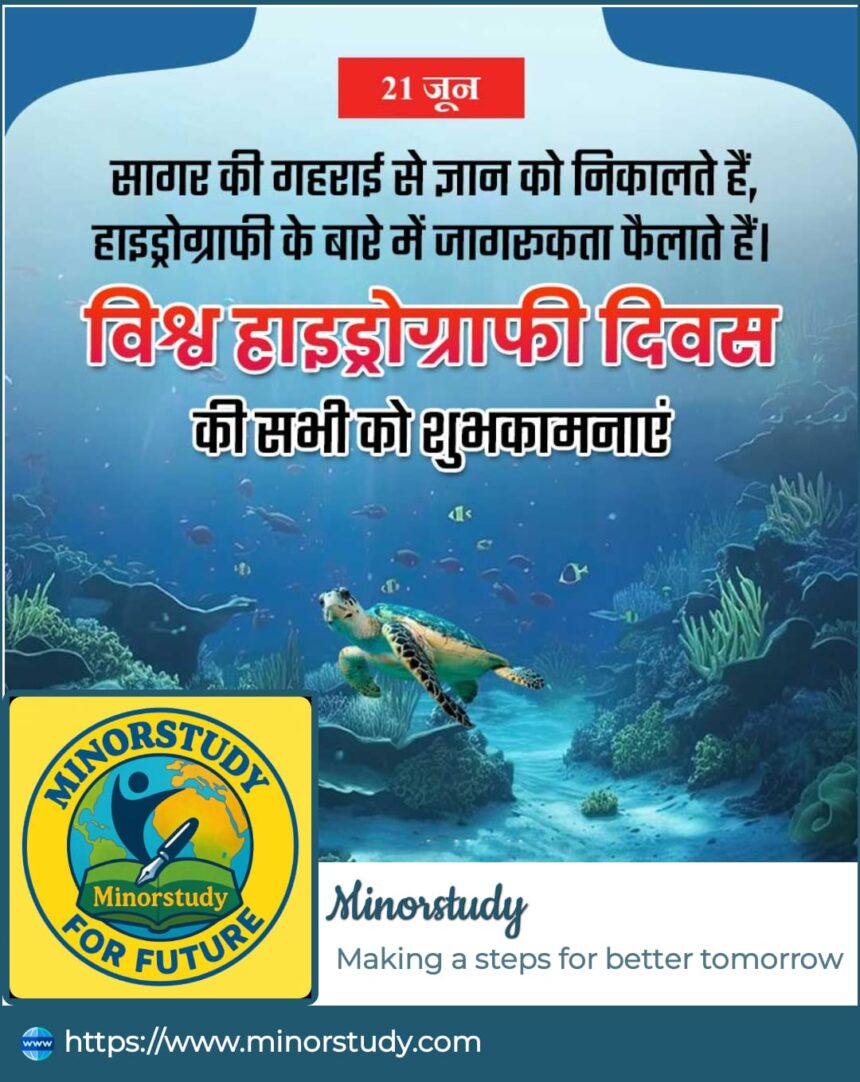
Every year on June 21, we celebrate World Hydrography Day to recognize the critical role hydrography plays in ensuring safe navigation, supporting sustainable marine development, and protecting our blue planet.
Let’s explore this unsung hero of maritime safety and why it matters more than ever in the 21st century.
📜 History of World Hydrography Day
Founded by the International Hydrographic Organization (IHO), World Hydrography Day was officially established in 2005 by the United Nations General Assembly.
The date – June 21 – marks the founding anniversary of the IHO in 1921.
The IHO, headquartered in Monaco, promotes global standards in hydrography to support the safety of navigation and the protection of the marine environment.
Each year, the IHO selects a theme to focus on contemporary hydrographic issues like innovation, marine protection, climate change, or geospatial data.
🌊 What is Hydrography?
Hydrography is the science of surveying and mapping bodies of water. It involves:
Measuring water depth
Charting seafloors, tides, currents, and coastlines
Identifying obstacles, shipwrecks, and underwater hazards
Supporting safe navigation, marine engineering, fisheries, and disaster prevention
📚 7 Powerful Facts About World Hydrography Day
Vital for Global Trade
Over 90% of world trade happens by sea. Hydrographic data ensures safe and efficient shipping routes.Supports Disaster Management
Hydrography helps predict and mitigate tsunamis, floods, and coastal erosion.Environmental Protection
Mapping marine ecosystems supports conservation of coral reefs, marine parks, and endangered species.Key to Climate Change Research
Rising sea levels, melting glaciers, and changing ocean currents are monitored using hydrographic tools.Boosts Tourism and Economy
Cruise liners, diving, and coastal tourism rely heavily on accurate marine maps.Defense and Security
Naval operations, submarine navigation, and maritime patrols use hydrographic data for strategic planning.Accessible to All
The IHO promotes free access to standardized hydrographic data, empowering developing nations and researchers alike.
❓ FAQs: Everything About World Hydrography Day
Q1. When is World Hydrography Day celebrated?
👉 June 21, every year.
Q2. Who organizes World Hydrography Day?
👉 The International Hydrographic Organization (IHO).
Q3. What is the aim of World Hydrography Day?
👉 To raise awareness about the importance of hydrography in safe navigation, environmental sustainability, and ocean governance.
Q4. How is it observed globally?
👉 Through seminars, exhibitions, ship visits, mapping demonstrations, school workshops, and government initiatives.
Q5. Is it relevant only to seafarers?
👉 No! It affects everyone — from global trade to climate action, food security, and even coastal real estate.
📅 Timeline: Key Events in Hydrography
| Year | Milestone |
|---|---|
| 1921 | Founding of the International Hydrographic Organization (IHO) |
| 2005 | UN officially recognizes World Hydrography Day |
| 2010s | Satellite and AI technologies transform hydrographic surveys |
| 2021 | IHO celebrates 100 years of hydrography |
| 2023–2025 | Integration with climate tech, marine conservation, and global SDGs increases |
🌟 The Annual Themes of World Hydrography Day
Each year, the IHO selects a theme to highlight evolving marine challenges:
2021: “100 Years of International Cooperation in Hydrography”
2022: “Hydrography – Contributing to the United Nations Ocean Decade”
2023: “Hydrography – Underpinning the Digital Twin of the Ocean”
2024: “Hydrographic Data: Enabling Autonomous Technologies”
These themes drive innovation and collaboration in maritime safety, AI-based navigation, and marine research.
🌐 Significance of World Hydrography Day
1. Ensures Safe Navigation
Without hydrographic surveys, ships would sail blindly — risking collisions, groundings, and massive losses.
2. Protects Marine Life
Mapping seafloor habitats helps marine biologists identify and protect endangered ecosystems.
3. Empowers Global Trade
Ports, shipping lanes, and underwater pipelines all depend on real-time hydrographic data.
4. Supports Coastal Communities
Hydrography informs flood risk management, land reclamation, and urban coastal planning.
5. Fosters Global Collaboration
Hydrography is a shared resource that bridges nations, especially when it comes to climate change and international waters.
🎉 How to Observe World Hydrography Day
🔍 Attend a Virtual Webinar: Many hydrographic organizations host free educational sessions.
🌊 Visit a Coastal Museum or Maritime Center.
📷 Share Ocean Facts or Maps on Social Media with hashtags like #WorldHydrographyDay.
🗺️ Try Online Nautical Mapping Tools like GEBCO or MarineTraffic.
🧑🏫 Encourage Schools to Teach Marine Geography with interactive water-based experiments.
🧵 Support NGOs working on ocean literacy and marine education.
💬 Wishing Messages for World Hydrography Day
“Here’s to the unsung heroes of the ocean — the hydrographers. 🌊 Happy World Hydrography Day!”
“Let’s celebrate the science that keeps our oceans safe and our world connected!”
“Maps may guide us on land, but hydrography guides us through the heart of the sea!”
“Happy World Hydrography Day! Because safe seas start with accurate data.”
💡 Why Hydrography Is Important in Our Daily Lives
🔄 In Everyday Life:
Fisheries: Hydrographic data supports sustainable fishing by identifying rich aquatic zones.
Coastal Homes: Developers use water depth charts for safe and eco-friendly construction planning.
Weather Forecasting: Tidal and current data improve cyclone predictions and coastal alerts.
Public Safety: Prevents maritime accidents and oil spills, protecting both people and ecosystems.
🧭 In Society:
National Economy: Ports, oil rigs, undersea cables, and tourism all depend on this data.
Environmental Awareness: Hydrography teaches us the value of our oceans and their delicate balance.
Sustainable Development Goals (SDGs): Directly supports SDG 14 – Life Below Water, and SDG 13 – Climate Action.
📌 Key Takeaways
World Hydrography Day is observed every June 21 to promote marine science.
It ensures the safety of global navigation, trade, and environmental protection.
It’s a call for collaboration, innovation, and marine stewardship.
Everyone — from fishermen to tech innovators — benefits from hydrography.
🔚 Conclusion: A World Mapped by Water, Made Safer by Science
While satellites track the skies and GPS maps our roads, it is hydrography that quietly maps the lifelines beneath — the oceans, rivers, and coasts that sustain us all.
World Hydrography Day is not just about maps; it’s about awareness, action, and appreciation. As we sail toward a future shaped by climate change, smart shipping, and coastal development, hydrography will remain our compass — guiding us safely through the tides of time.
This June 21, let’s celebrate the depth, precision, and power of hydrography. 🌍🧭🌊


